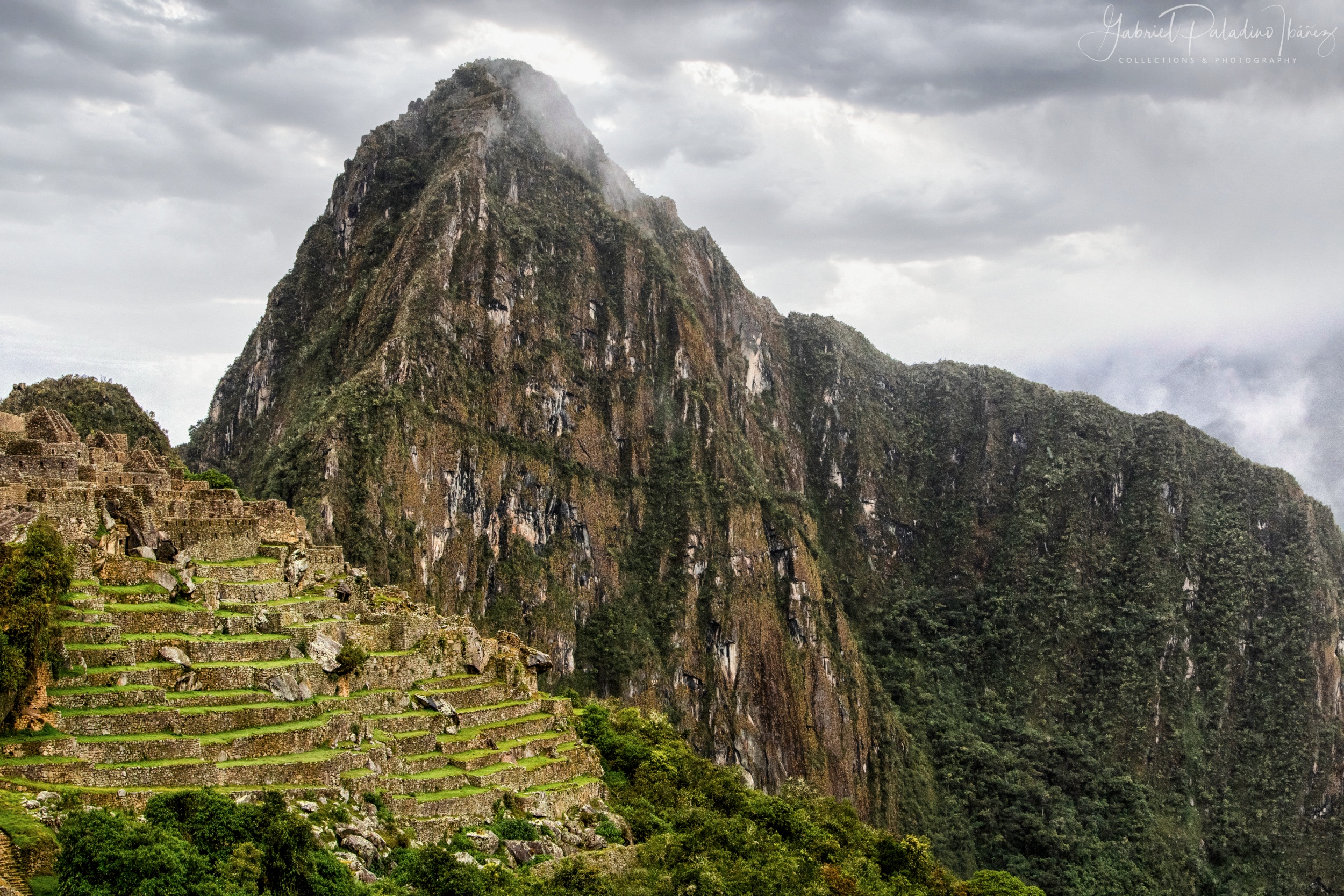
An overview of the 15th-century Inca citadel, featuring its extensive agricultural terraces and the prominent Huayna Picchu mountain in the background. Situated at 2,430 meters (7,970 ft) above sea level, the site is a masterwork of Inca engineering and urban planning. The visit offers a notably scenic walking experience through a highly structured ceremonial and agricultural landscape.
On this particular day, persistent light drizzle and low cloud cover shaped the atmosphere of the site, adding a subtle dramatic veil to the ruins. Although the region is high, after several days of acclimatization the effects of altitude are generally perceived as mild—especially when compared to the city of Cusco (≈3,400 m), which served as my base. Descending from the city to the citadel makes the air feel noticeably richer, allowing for a more comfortable exploration.
The visible terraces, or andenes, were designed both for crop cultivation and as sophisticated drainage and soil-stabilization systems to prevent erosion on the steep slopes. The architecture follows the ashlar technique, where stones are precisely fitted without mortar, a method that has allowed the structures to withstand centuries of seismic activity. Recognized as a UNESCO World Heritage Site since 1983, Machu Picchu remains one of the most significant archaeological complexes in the world.
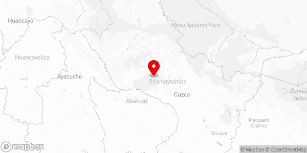
Machu Picchu, Urubamba, Cusco, Perú
Camera: Canon EOS 750D / Rebel T6i / Kiss X8i
Lens: TAMRON SP 28-75mm F/2.8 Di A09E
Capture Information:
Focal Length: 28.0 mm
Shutter Speed: 1/400
Aperture: f/9.0
ISO: 800
Photo Taken: March 13, 2019
High resolution
Flickr Gallery